UN
95 Bryn Offa
£ 55,000
Description
We don't have a Description for this property.
- Bedrooms
- 2
- Bathrooms
- 0
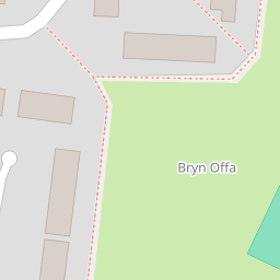
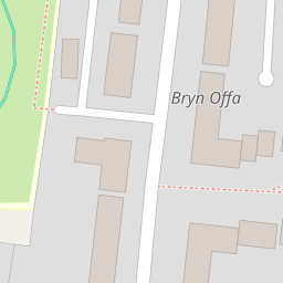


Leaflet © OpenStreetMap contributors
The heatmap indicates the level of crime in the area. The color of the heatmap indicates the crime severity and recency.
Metrics Year-on-Year
- Average area value
- 363,275.00 £Increased by 0.98 %
- Average area rental value
- 922.00 £/moDecreased by 1.28 %
- Est rental Yield
- 3.05 %Decreased by 2.24 %
- Crime Rate
- 17.00 %Unchanged by 0.00 %
from 359,732.00 £
from 934.00 £/mo
from 3.12 %
from 17.00 %
Nearby Schools
| Name | Type | Ofsted | Distance |
|---|---|---|---|
| Ysgol Clywedog | Welsh Establishment | 0.37 KM | |
| Woodlands Children'S Development Centre | Welsh Establishment | 1.07 KM | |
| St Joseph'S Catholic And Anglican Secondary School | Welsh Establishment | 1.37 KM | |
| St Mary'S R.C. Primary School | Welsh Establishment | 1.38 KM | |
| St Giles Vc Church In Wales Primary School | Welsh Establishment | 1.53 KM |
Images
Nearby Streets
| Name | Average Price | Average Sqft | Distance |
|---|---|---|---|
| Dolydd Road | £ 0 | 0 | 0.00 KM |
| Gloucester Drive | £ 229,950 | 0 | 0.00 KM |
| Pentrefelin | £ 105,000 | 0 | 0.00 KM |
| Mold Road | £ 0 | 0 | 0.00 KM |
| Bridewell Court | £ 0 | 0 | 0.00 KM |
Nearby Transport
| Name | NLC | TLC | Distance |
|---|---|---|---|
| Wrexham General | 4487 | WRX | 1.15 KM |
| Wrexham Central | 4486 | WXC | 1.16 KM |
| Gwersyllt | 4300 | GWE | 3.55 KM |
| Cefn-Y-Bedd | 2425 | CYB | 6.78 KM |
| Ruabon | 4477 | RUA | 7.19 KM |
Nearby Listings
| Address | Price | Type | Score | Distance |
|---|---|---|---|---|
| Bryn Offa, Wrexham | £ 110,000 | BUY | 5 / 10 | 0.06 KM |
| Bryn Offa, Wrexham | £ 160,000 | BUY | 6 / 10 | 0.12 KM |
| Bryn Offa, Wrexham | £ 189,950 | BUY | 6 / 10 | 0.14 KM |
| The Homestead, Wrexham | £ 285,000 | BUY | 7 / 10 | 0.22 KM |
| Thornhill Drive, Bersham Road, Wrexham, LL14 | £ 235,000 | BUY | 7 / 10 | 0.47 KM |
Nearby Properties
| Address | Price | Distance |
|---|---|---|
| 83 Bryn Offa | £ 112,000 | 0.00 KM |
| 92 Bryn Offa | £ 65,000 | 0.00 KM |
| 106 Bryn Offa | £ 106,000 | 0.00 KM |
| 114 Bryn Offa | £ 75,000 | 0.00 KM |
| 102 Bryn Offa | £ 108,000 | 0.00 KM |